
It's Tuesday June 9, 2026
Exposed: Oriental Shoreline
Hanna's Winds Reveal What Lurks BeneathSeptember 9, 2008
When tropical storms and hurricanes swirl near Oriental, they usually leave the town flooded. But when tropical storm Hanna left on Saturday, there was not much wake in her wake. Instead of a storm surge rushing in, the winds out of the south meant that we had several feet of water pushing out and up the Sound.
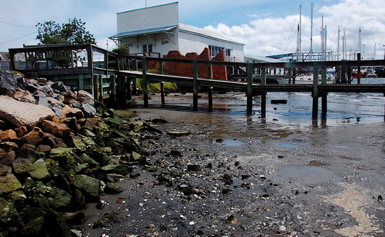 A few feet lower than usual at the dinghy dock.That exposed a lot of Oriental’s shoreline, not just at the dinghy dock, but under the bridge and the kayak dock and around the bend toward the Wildlife ramp.
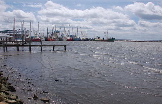 Even a kayak would’ve gone aground at the dinghy dock Saturday afternoon.
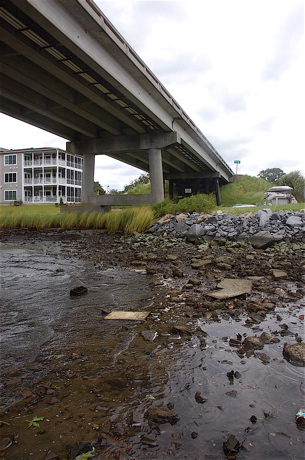 The low water near the bridge.
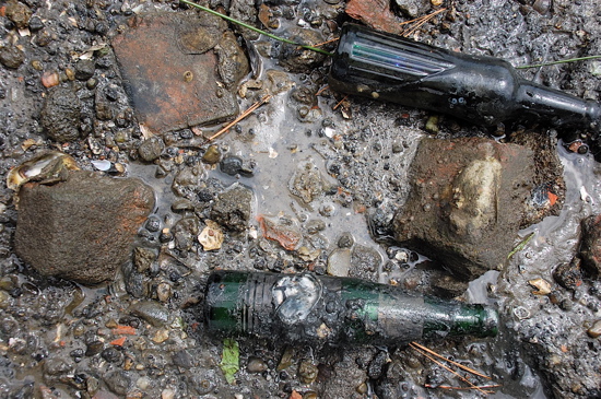 Bottles in the primordial ooze near the bridge. Oysters had attached themselves. (Because of that, these bottles were not harvested, but tossed in to deeper water.)
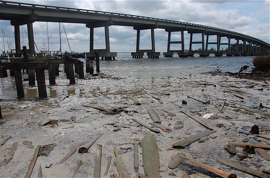 Moving toward the kayak ramp, the receeding water lefta long area of mud flats near the un-topped dock. That ‘s where you could see the first of the curious planks of wood.
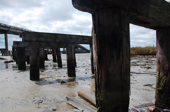 The skeletal pier as seen from below.
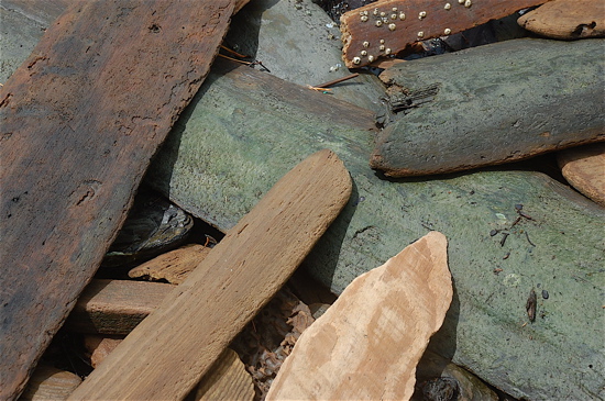 Wood that normally stays below the water’s surface, got a rare exposure to air. This was only the beginning…..
[page]
 That’s the kayak dock above, and below, the remainders of the pilings for another dock that stood in that spot, long ago.
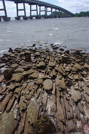 Planks of wood neatly arranged. Usually they are underwater, but the strong southerly winds midday on Saturday, exposed them. Speculation is that the wood may be debris left from the days, 100 years ago, when saw mills planed logs in this part of town.
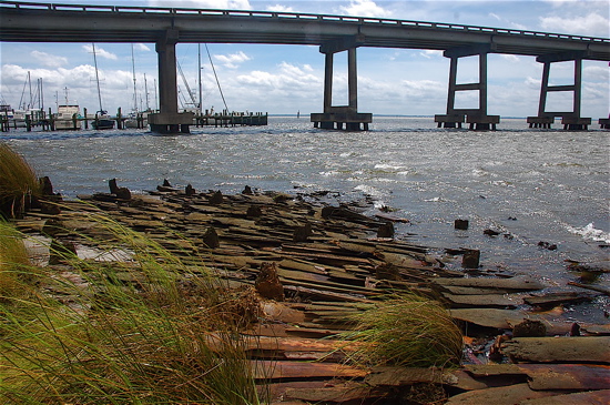 Wood near the floating ramp for the kayak dock.
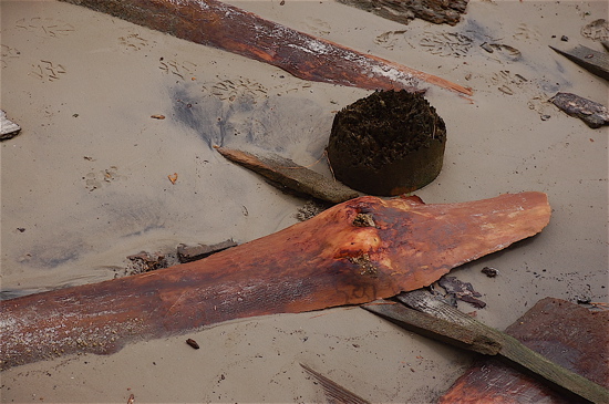 Nature’s carving of a goose neck?
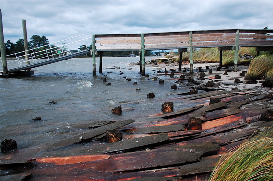
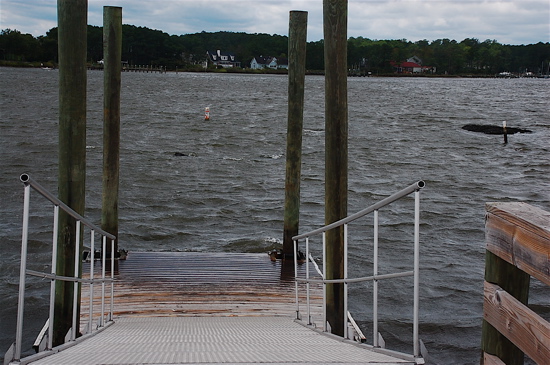 The kayak ramp’s floating dock at the bottom of a particularly sharp angle thanks to the receding waters. To the right in the water is the outcropping that can scrape the bottoms of boats that don’t heed the danger buoy nearby.
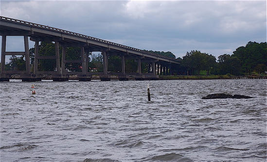 The rock that prompted those danger signs.
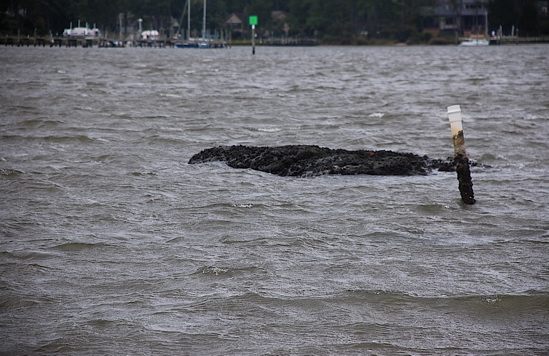 And still closer yet.
[page]
Walking beyond the kayak ramp revealed another usually-submerged stretch near the Wildlife ramp.
 The Wildlife Ramp.
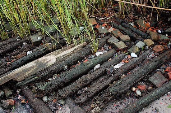 Timbers in the grasses near the Wildlife Ramp.
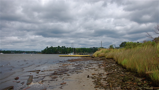
The low waters weren’t limited to Smith Creek. A mile away at Styronton Beach, it was the same story. A lot of water flowed north and left wide stretches of beach, and artifacts.
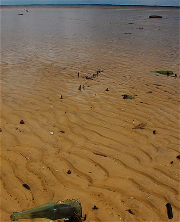 By the bottle count, both Coke and Pepsi were popular in years past. Also Mountain Dew, and even the occasional Crush.
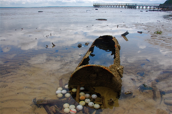 There were lots of bottles at Styronton Beach, and what at first looked to be eggs, but turned out to be golf balls, all settled in a dip in the river bottom.
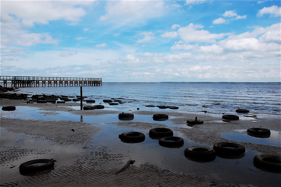 Tires at Styronton Beach. .
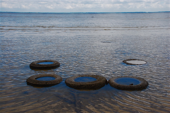 While some tires had collections of shellfish living inside, others collected small, almost luminescent slices of the sky.
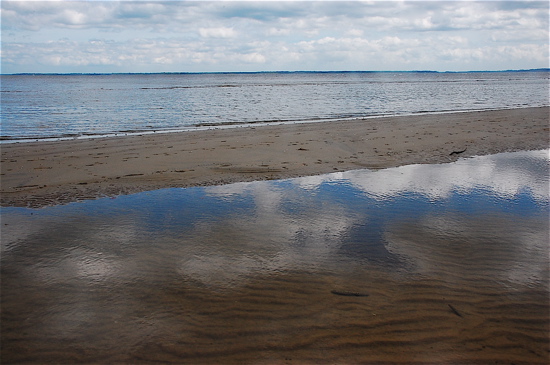 In places, the receeding water at Styronton Beach revealed only sand. Sand bars and pools reflected the bright blue of the post-storm sky.