
It's Sunday January 18, 2026
November 19, 2009
Hodges Street stayed flooded for a week this time. Main Street even longer.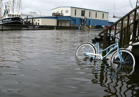 Going where few cars dared. A bike rests against the stairs at The Bean on Friday.
Some visiting boaters, sloshing down a watery Hodges Street the other day, asked if this high water in the streets happened often. Our wind tide was explained, that it happens a couple of times a year, when the wind blows from the north and pushes water up our creeks and harbor.
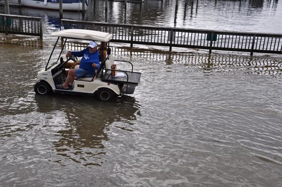 A golf cart plows thru the waters of Hodges Street. The driver was distributing milk bones to dogs, despite the flooded conditions Sunday. .
Usually those water levels drop after a day or two. This one held on for a full week.
 Hodges Street as seen from the Wits End Sunday morning.
Whatever the duration, it’s a fact of life in the village, that when north winds blow, water will flood the lower-lying streets. In particular, Hodges near the Town Dock and, a block away, Main Street between the two sections of the Duck Pond. Main Street floods more often because the asphalt road is not that much higher than the two sections of Duck Pond on either side of its pavement.
 Main Street. The street — when it’s not submerged — divides the upper and lower Duck Pond. When it floods, it all becomes one.
There has been talk over the years of getting rid of the problem by getting rid of the road — that is, removing those few dozen feet of Main Street asphalt and letting the Duck Pond flow more freely. That would also mean no more vehicular traffic could pass on Main between South Water and Factory. A pedestrian bridge for walkers and cyclists has been mentioned.
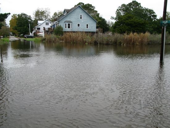
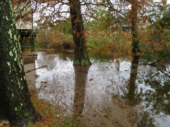 A yard near Main Street, where fallen bald cypress foliage shared the ground with water on Friday.
At last Tuesday’s Town Board meeting – before the most recent round of flooding began – Commissioner Candy Bohmert raised the issue again. She said that if the town wanted to proceed with removing Main Street’s asphalt at the Duck Pond, it would need to pay $400 for a CAMA permit. She said that removing the roadway there would get the Duck Pond opened up.
 Water, water, everywhere. Hodges Street – submerged in foreground — and the Town Dock and Oriental harbor, beyond.
[page]
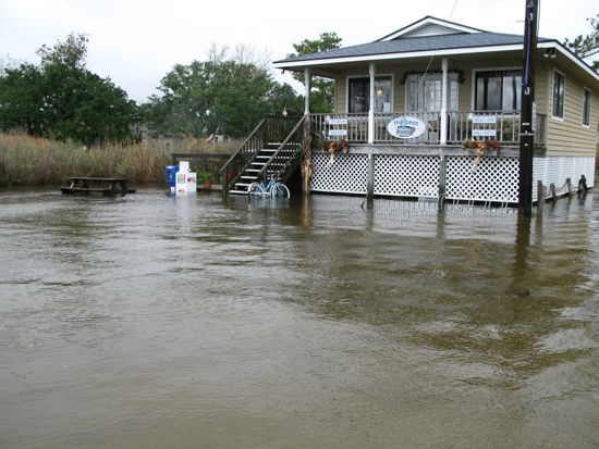 The Bean on Friday.
Fellow commissioner Dave Cox noted that the real outlet for the Duck Pond is at Hodges Street. A relatively small culvert runs under Hodges between the Duck Pond and the harbor. The combination of the small opening for water and the low lying road lead to the flooding of Hodges that we see a few times a year.
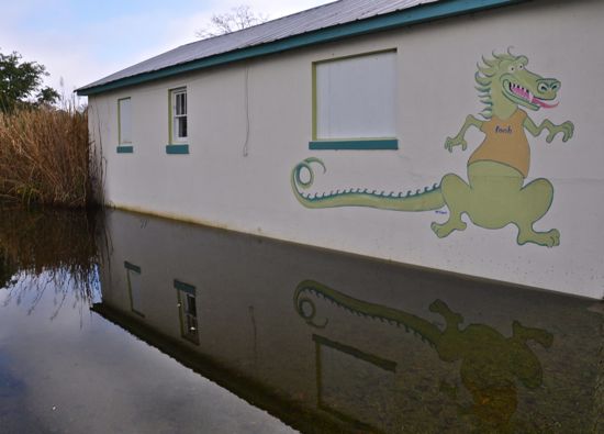 Thar be dragons, and flooding, until the town figures what to do with its low-lying streets. The dragon is on the side of the Wits End.
One solution for Hodges Street that has been floated in the past is a bridge. The advantage of such a plan is that it would let water flow more easily in and out of the Duck Pond and, being higher than the existing road, allow passage of vehicles in all weather. A bridge on Hodges, however, would be a more expensive proposition than tearing up the asphalt a block away on Main, which is why the town appears more ready to tackle that project first.
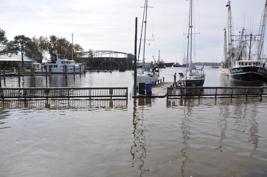
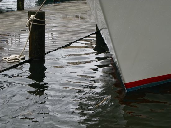 Bow of a visiting boat at the Town Dock Friday as water levels came even with the dock.
A wider-ranging plan for the Duck Pond was unveiled just over a year ago. That stormwater management/public park proposal recommended that the town acquire property that had been for sale on Factory Street. The town board declined to seek grants for that acquisition.
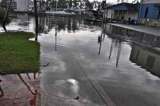
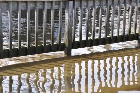 Water pours across the sidewalk near the waterfront on Hodges Street.