It's Thursday September 19, 2024 Dock Quote: “You want a...
News From The Village Updated Almost Daily
| ||||||||
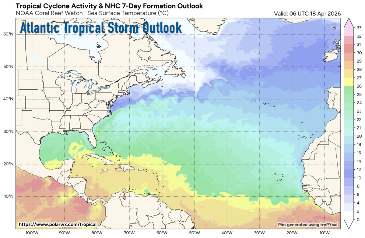
There are currently no active storm systems in the Atlantic region. |
Tropical Weather Outlook
NWS National Hurricane Center Miami FL
200 PM EDT Thursday September 19 2024
For the North Atlantic...Caribbean Sea and the Gulf of Mexico:
Central Tropical Atlantic (Remnants of Gordon):: An area of showers and thunderstorms located over the central subtropical Atlantic is associated with the remnants of Gordon. Some development of this system is possible while it moves northward or north-northeastward over the next few days.
* Formation chance through 48 hours...low...30 percent.
* Formation chance through 7 days...low...30 percent.
Central and Western Subtropical Atlantic: An area of low pressure located about 750 miles southeast of Bermuda is producing disorganized showers and thunderstorms. Environmental conditions appear only marginally conductive, but some development of this system is possible while it meanders over the open waters of the central or western Subtropical Atlantic though early next week.
* Formation chance through 48 hours...low...10 percent.
* Formation chance through 7 days...low...20 percent.
Northwestern Caribbean Sea and Southeastern Gulf of Mexico: A broad area of low pressure could form by early next week over the northwestern Caribbean Sea. Thereafter, gradual development of this system is possible, and a tropical depression could form as the system moves slowly to the north or northwest over the northwestern Caribbean Sea and into the southern Gulf of Mexico through the middle part of next week.
* Formation chance through 48 hours...low...near 0 percent.
* Formation chance through 7 days...medium...40 percent.
Forecaster: Richard Pasch, National Hurricane Center
For detailed analysis see The Atlantic Tropical Weather Discussion.